Log in
All resources
Create a design
230 Free Artworks of Islands Of California
,university of california libraries (archive.org)
bird
great britain
game and game-birds
the game birds and wild fowl of the british islands
bibliothèque nationale de france
island of california
sanson maps of north america
island of california on world maps
17th-century double hemisphere world maps
curt teich postcard archives, detroit publishing company
postcards of santa catalina island, california
17th-century maps of the americas
island of california
1680s maps of north america
hugo allardt
synopsis universae philologiae
maps of continents
1640s maps of the americas
copper engravings
1690s maps of the world
maps by carolus allard
maps by willem and johannes blaeu
novus atlas blaeu
1660s maps of the world
atlas maior
mappe-monde geo-hydrographique (sanson and jaillot, 1674)
cartography of france
photographs by lewis josselyn
theodore criley
maps by nicolaes visscher i
prints by nicolaes berchem
18th-century double hemisphere world maps
1730s maps of the world
18th-century double hemisphere world maps
1730s maps of the world
synopsis universae philologiae
1741 maps of europe
maps by edward wright
molyneux globes
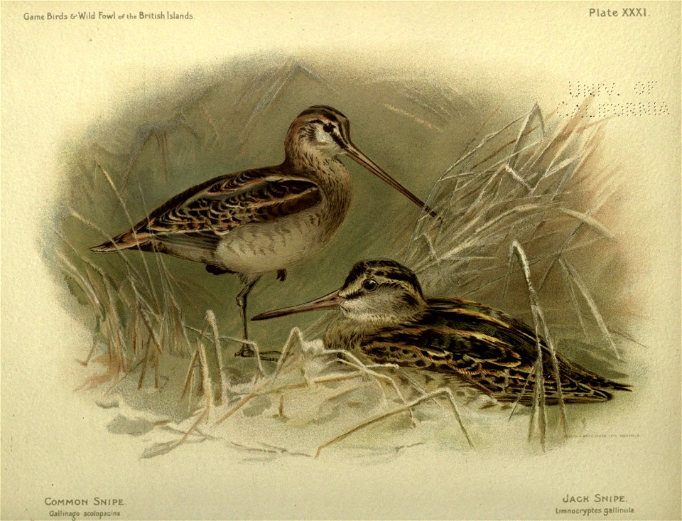
great britain
bird
great britain
bird
great britain
bird
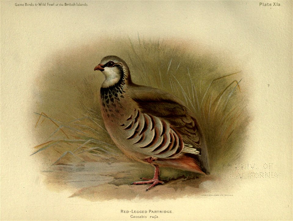
pheasant
bird
railing
bird
great britain
bird
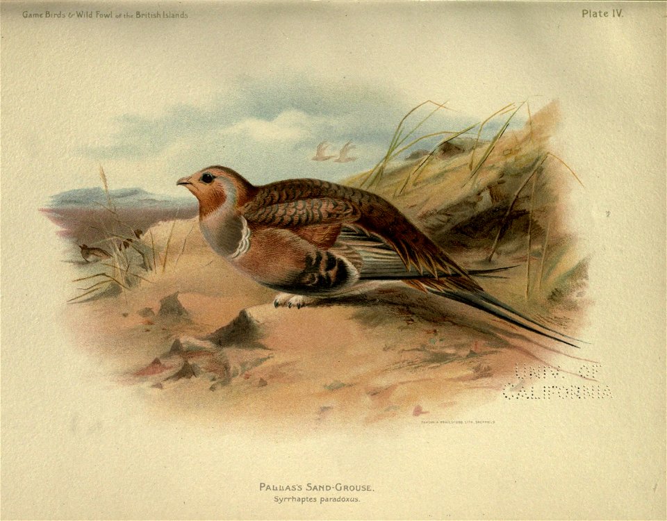
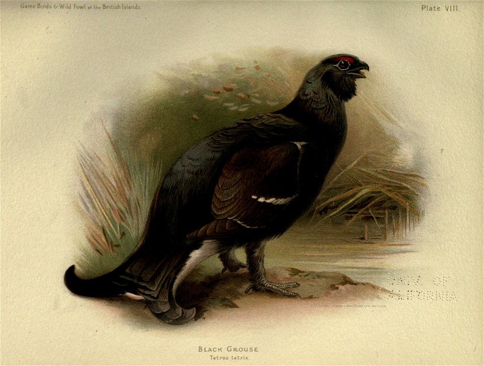
grouse
bird
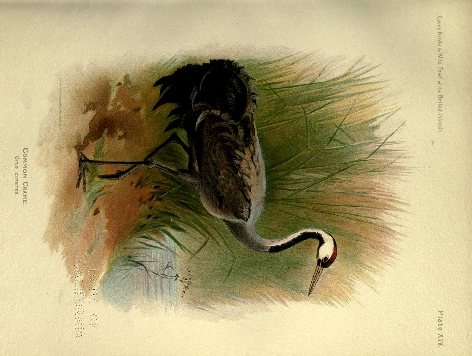
crane
bird
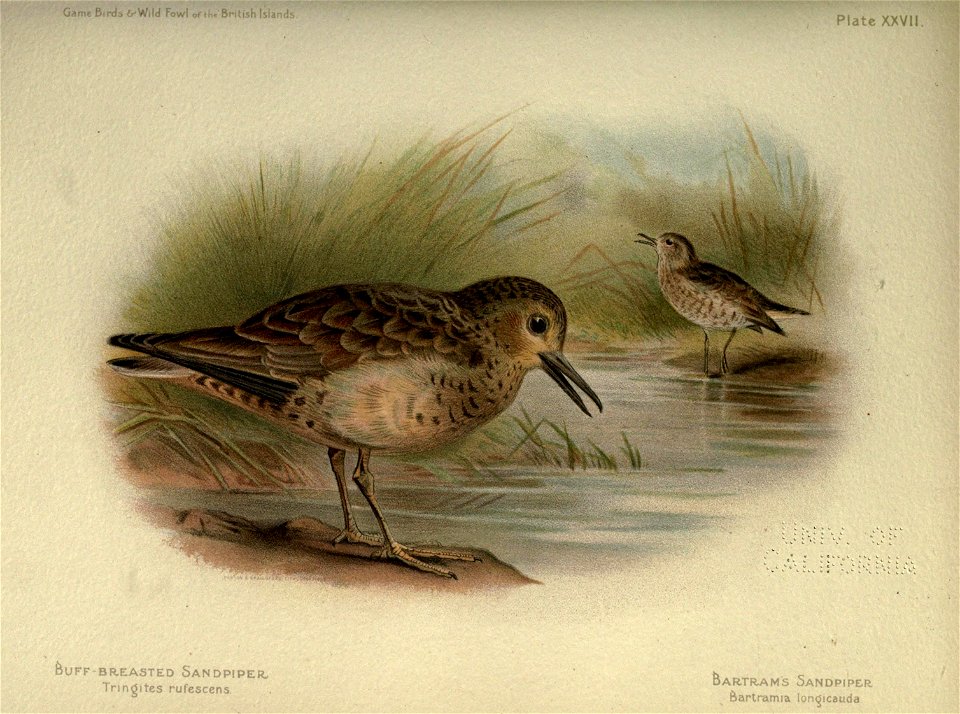
great britain
bird
great britain
bird
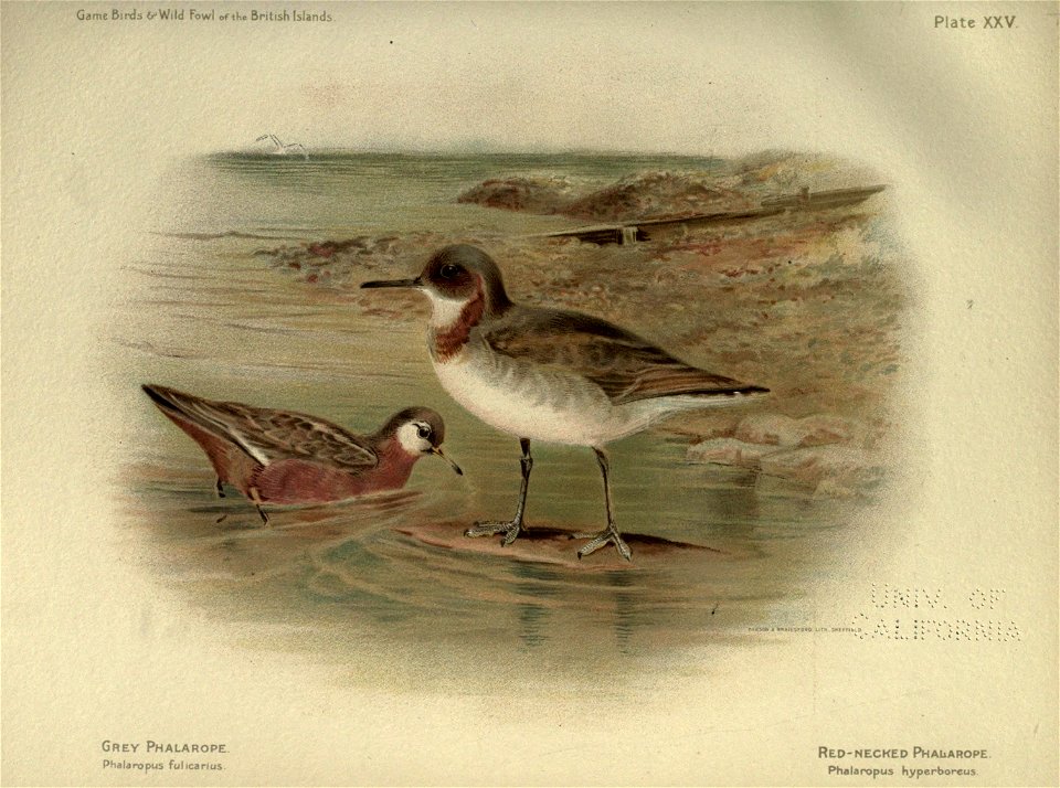
great britain
bird
great britain
bird
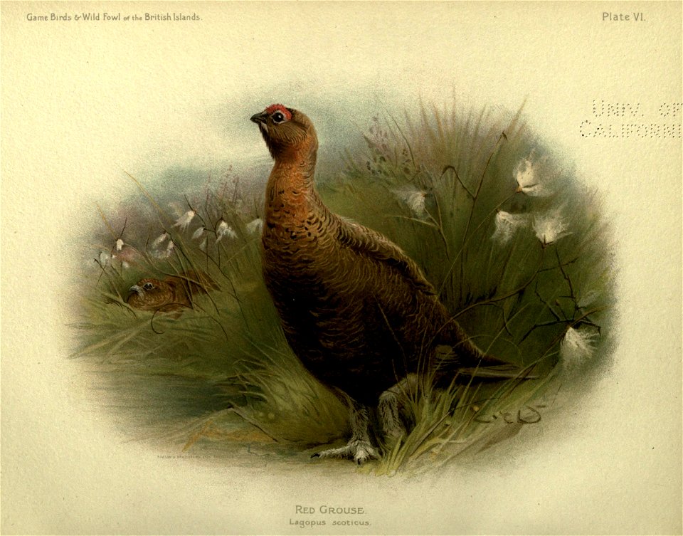
grouse
bird
grouse
bird
great britain
bird
great britain
bird
great britain
bird
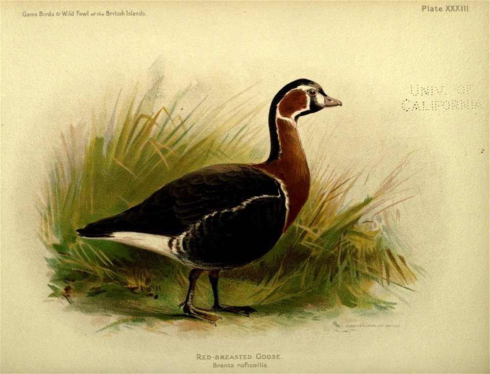
goose
bird
island of california on world maps
1650s maps of the world
great britain
bird
bird
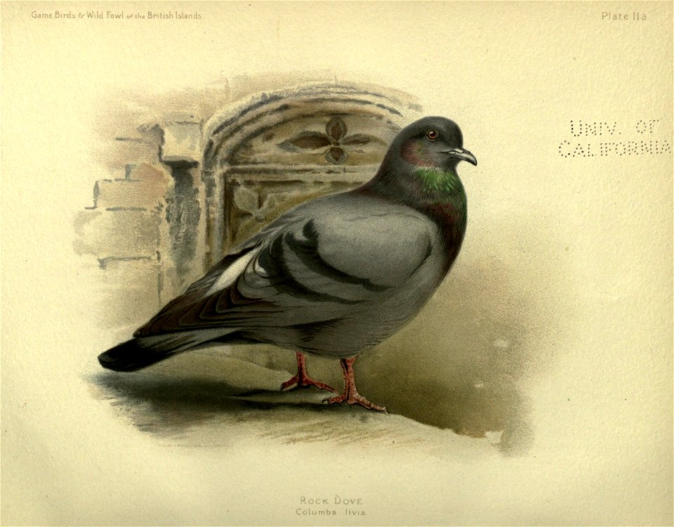
dove
bird
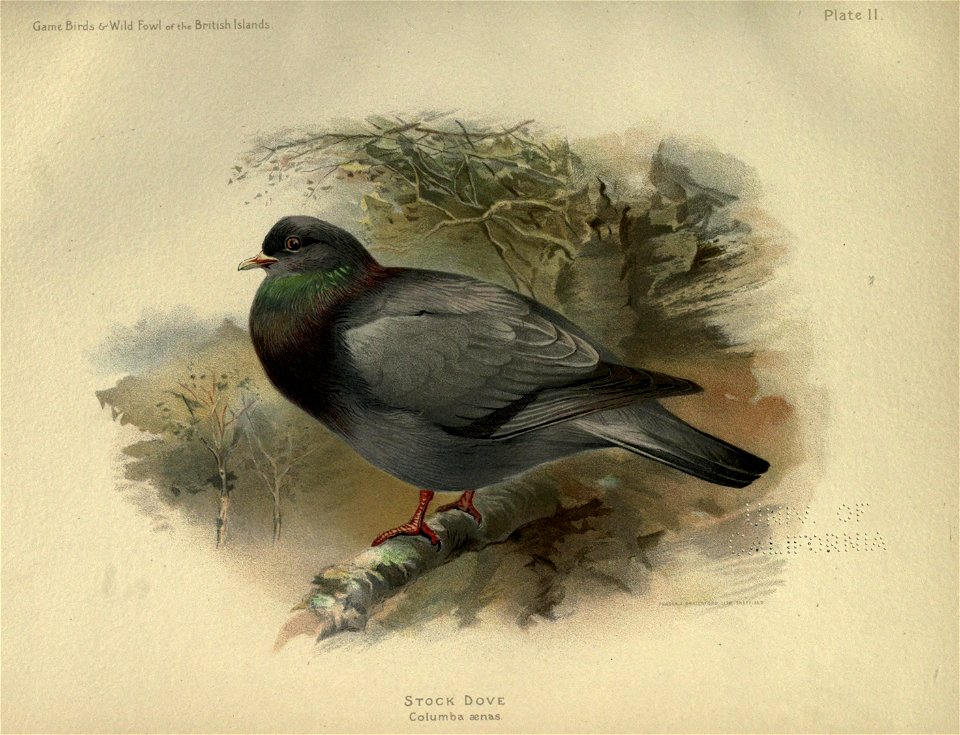
dove
animals
bird
bird
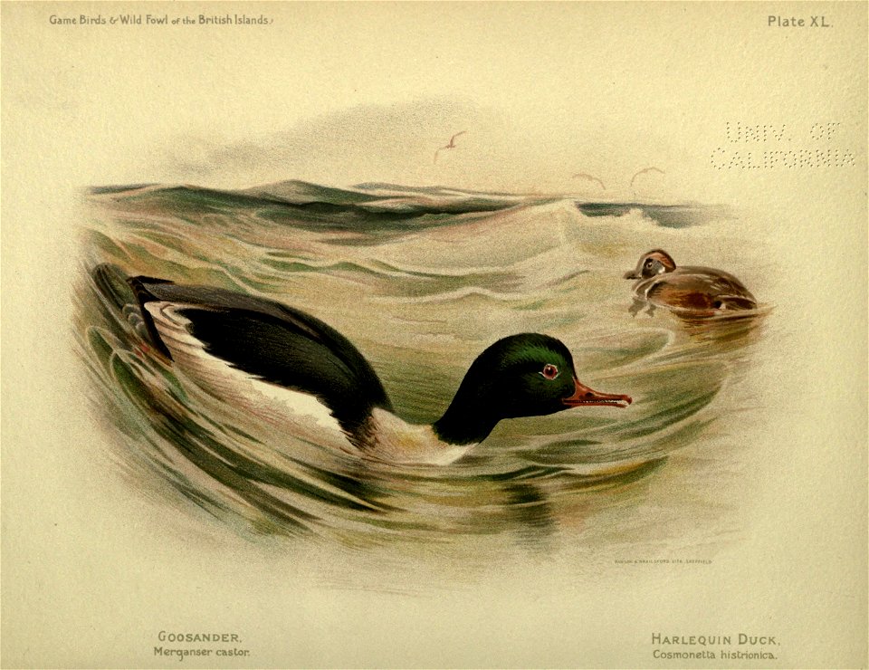
duck
great britain
bird
french-language maps of the world
1700s maps of the world
bird
dove
bird
duck
bird
dove
maps with figures
michael burghers
17th-century maps of the americas
maps from gallica
nypl lionel pincus and princess firyal map division
geographical atlases
18th-century double hemisphere world maps
1720s maps of the world
1700s maps of the world
le neptune francois
historical images of santa catalina island, california
highways and byways of the pacific coast (1908)
media contributed by cleveland public library
georg widmann
great britain
bird
pheasant
bird
sanson maps of north america
maps by nicolas sanson
sanson maps of north america
maps by nicolas sanson
great britain
bird
great britain
bird
sanson maps of north america
maps by nicolas sanson
sanson maps of north america
maps by nicolas sanson
records of the town of smithtown, long island, n.y. - with other ancient documents of historic value (1898)
hudson river school
bird
duck
great britain
bird
great britain
bird
great britain
bird
great britain
bird
watercolor paintings by deborah griscom passmore
usda pomological watercolors of apples
sanson maps of north america
maps by nicolas sanson
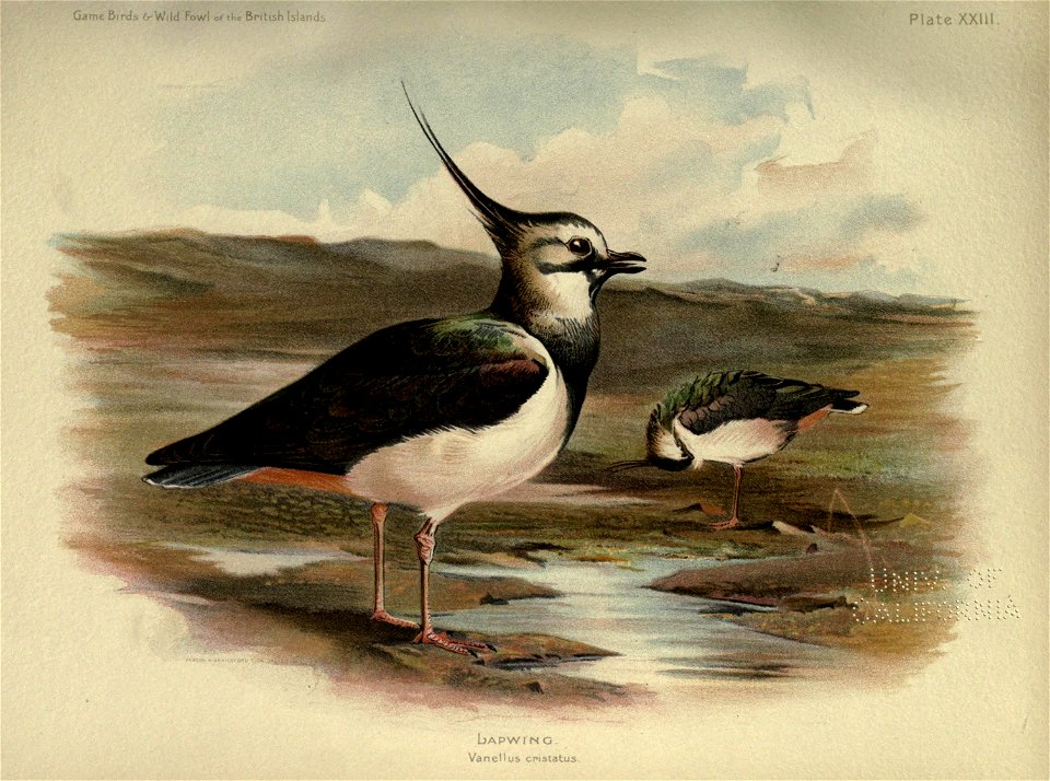
stilts
bird
sanson maps of north america
island of california
sanson maps of north america
1690s maps of north america
sanson maps of north america
island of california
sanson maps of north america
island of california
1677 maps of north america
island of california
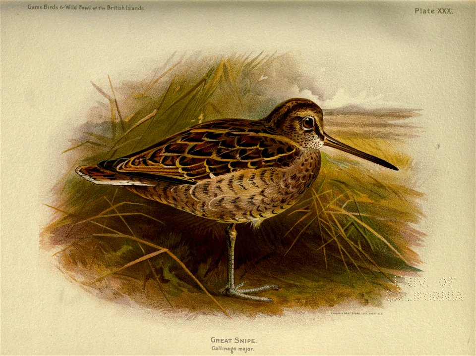
goose
bird
bird
duck
great britain
bird
considérations géographiques et physiques sur les nouvelles découvertes au nord de la grande mer
1755 maps of north america
maps in the library of congress
1664 maps
old maps of atlantis
island of california
sanson maps of north america
island of california
sanson maps of north america
island of california
side lights on english history (1900)
romanticism
sanson maps of north america
1674 maps of north america
nypl by thomas houseworth & co., and lawrence & houseworth
stereo cards of san francisco
sanson maps of north america
island of california
nypl by thomas houseworth & co., and lawrence & houseworth
san francisco public health service hospital
sanson maps of north america
island of california
sanson maps of north america
island of california
british columbia in the 1860s
saturna island
old maps of atlantis
island of california
geocentric model
1730 maps
mappe-monde geo-hydrographique (sanson and jaillot, 1674)
1750s maps of california
philippe buache
pieter verbiest (ii)
maps from gallica
1640s maps of the world
maps from gallica
considérations géographiques et physiques sur les nouvelles découvertes au nord de la grande mer
eso island
considérations géographiques et physiques sur les nouvelles découvertes au nord de la grande mer
eso island
great britain
bird
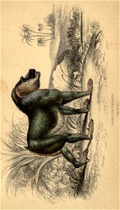
mammals
monkey
considérations géographiques et physiques sur les nouvelles découvertes au nord de la grande mer
hokkaido in art
101 - 200 of 230
Next page
/ 3


![[Nova et accuratissima totius terrarum orbis tabula]., Joan Blaeu, 1664](https://cdn.creazilla.com/illustrations/10001308540/nova-et-accuratissima-totius-terrarum-orbis-tabula-joan-blaeu-1664-md.jpg)